


Satellite images show how far flood waters have encroached on Grand Bahama Island
Radar imaging satellites from Finnish company ICEYE captured an image of Grand Bahama Island's coastline at 11:44 a.m. local time on Monday which shows vast flooding over much of the island's land mass.
Latest LiveNOW Stories
Satellite images show how far flood waters have encroached on Grand Bahama Island

US rejects Iran ceasefire proposal over nuclear talks

King Charles enters final day of U.S. visit

Lawmakers in Florida approve redistricting map

Appeals court rules border asylum ban illegal

Musk testifies in trial against OpenAI's Sam Altman

King Charles III and Camilla visit the Big Apple
Trump rejects Iran's Hormuz offer as war continues

Federal Reserve leaves interest rates unchanged

D4vd accused of killing teen to protect music career

Powell nears end of term as Fed holds rates steady

Comey appears in court after his ‘8647’ indictment
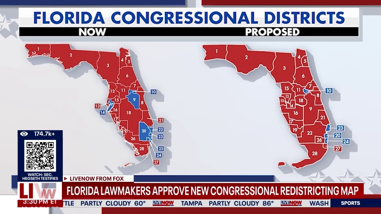
Florida approves new congressional redistricting map
From the Archives


Consumer & Money
Powell nears end of term as Fed holds rates steady

United Arab Emirates announces OPEC exit this week

Apple CEO Tim Cook confirms he will step down

Global economic growth impacted amid Iran war

Trump blasts Fed leadership as HQ probe heats up

Gas price spike hits consumers as Iran war continues

Gen Z saving for retirement at record levels

U.S. added 178K jobs in March, beating expectations

Gas price worries continue across US amid Iran war

Trump's Iran speech sparks oil rally and market slide

National gas prices hit $4 for first time since 2022

Wall Street drops after uncertainty over Iran war
What is crude oil? Why is it critical to the economy?

How to protect your portfolio from Iran related chaos

Mideast conflict continues to impact energy markets

US stock market sees reversal after oil drop

Gas and heating oil prices climb amid Iran conflict

Trump rips SCOTUS tariff ruling at State of the Union

Stocks jump after Supreme Court tariff ruling

Despite tariffs, U.S. trade deficit hits $901 billion
Science & Tech

Trump hosts Artemis II astronauts at White House
Apple CEO Tim Cook confirms he will step down

Ukraine captures position with robot ground force

NASA prepares for Orion spacecraft’s return to Earth

Former NASA astronaut talks surviving in space

Artemis II crew take questions on way back to Earth

Artemis II crew prepares for Earth return, splashdown

Fisherman rescues shark caught on fishing line

Artemis II crew wraps moon flyby, heads for Earth

Trump speaks to Artemis II crew during moon mission

Artemis II swings around moon, begins journey home

Artemis II travels around the far side of the moon

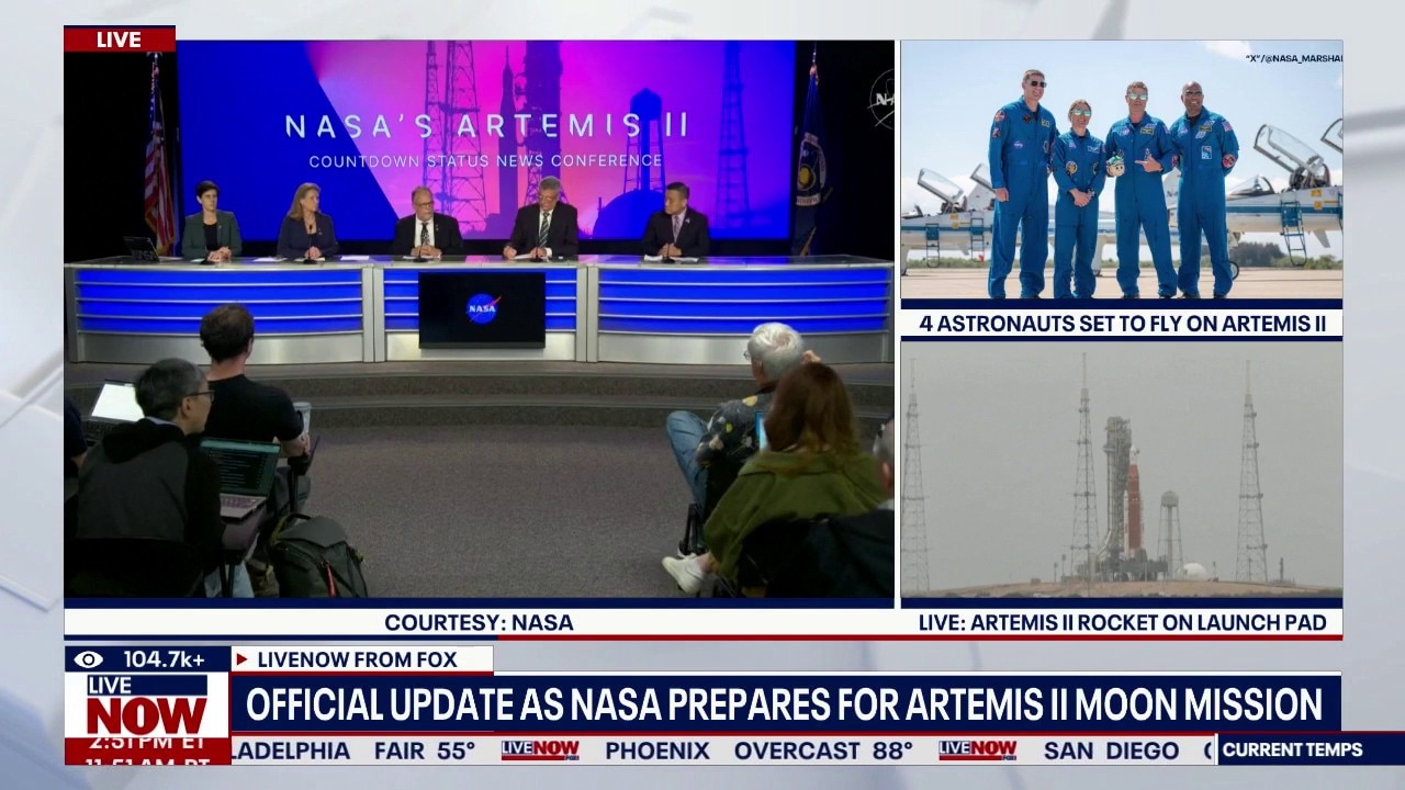
NASA gives update on Artemis II mission, astronauts
Artemis II astronaut honored on first spaceflight

Artemis II launches for historic journey to the moon

Historic Artemis II launch window opens Wednesday
Update on Artemis II lunar fly-around launch attempt

Meta ordered to pay $375M after child safety trial

Pentagon’s AI battle continues against tech company
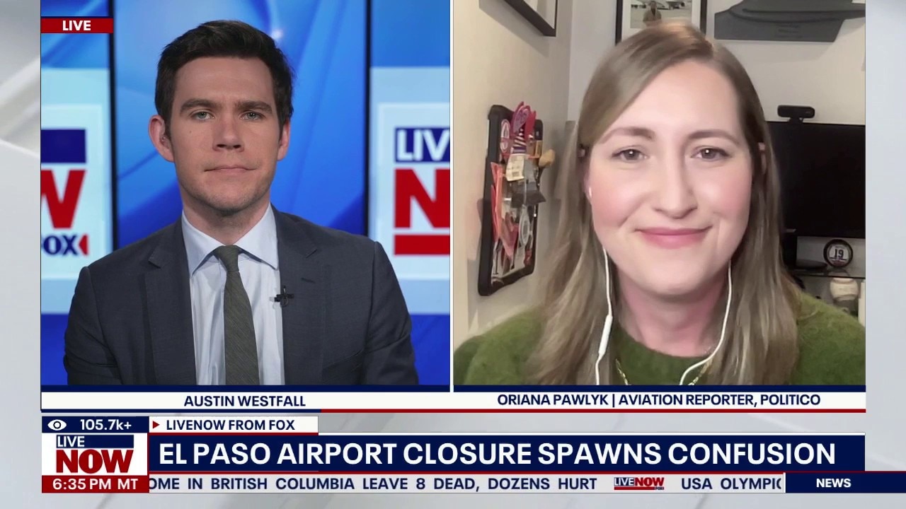
Conflict arises after El Paso airspace closing
Police Chases

LAPD chases restraining order violation suspect

Suspected DUI driver dances after LAPD pursuit

Police chase suspect takes off on foot

Suspect rams cars out of way

Suspect carjacks 3 vehicles during hour-long pursuit

High-speed motorcycle chase ends in violent crash

Viewer discretion: High-speed chase ends in crash

Pursuit leads to standoff in Hollywood Hills area

L.A. stolen car chase ends with suspect fleeing

Police pursue assault suspect in LA County

LAPD pursuit of carjacking subject ends on foot

Police chase in LA County ends with arrest

LA police pursuit ends with shootout on live TV

Gold minivan leads police on slow-moving chase

Northern L.A. pursuit ends with off-road accident

L.A. stolen-car chase ends with foot-pursuit arrest

Woman arrested after high-speed chase in California

Bus leads police on high-speed chase

High-speed LA police chase ends in wreck

Police chase suspected stolen pickup truck in LA
Weather Across the Country

Camp Mystic told to revise emergency plans to reopen

Early predictions for 2026 hurricane season
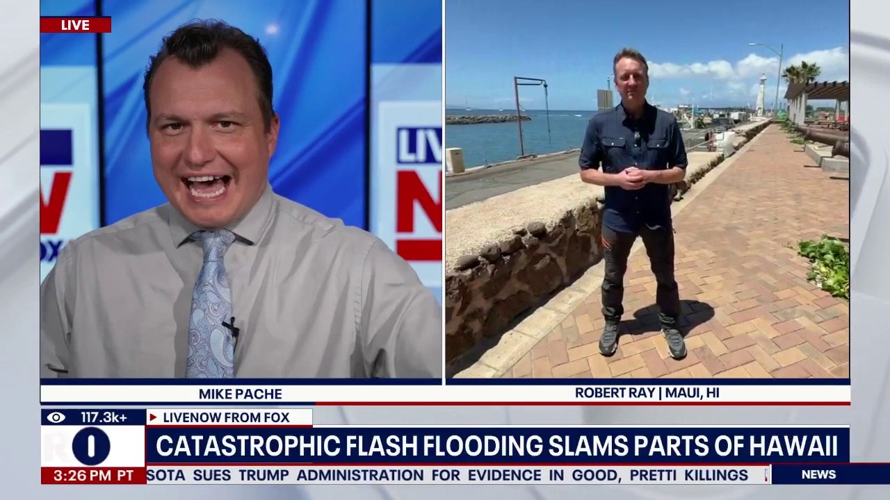
Hawaii continues to recover after historic flooding
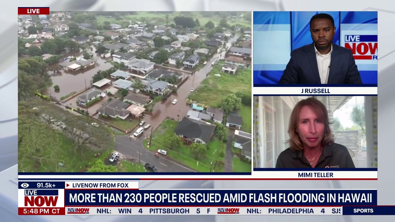
Historic flooding in Hawaii prompts evacuations
Major heat wave shatters record highs in Southwest

Tornadoes, dangerous storm system slam Midwest

3 dead after tornado sweeps through Michigan
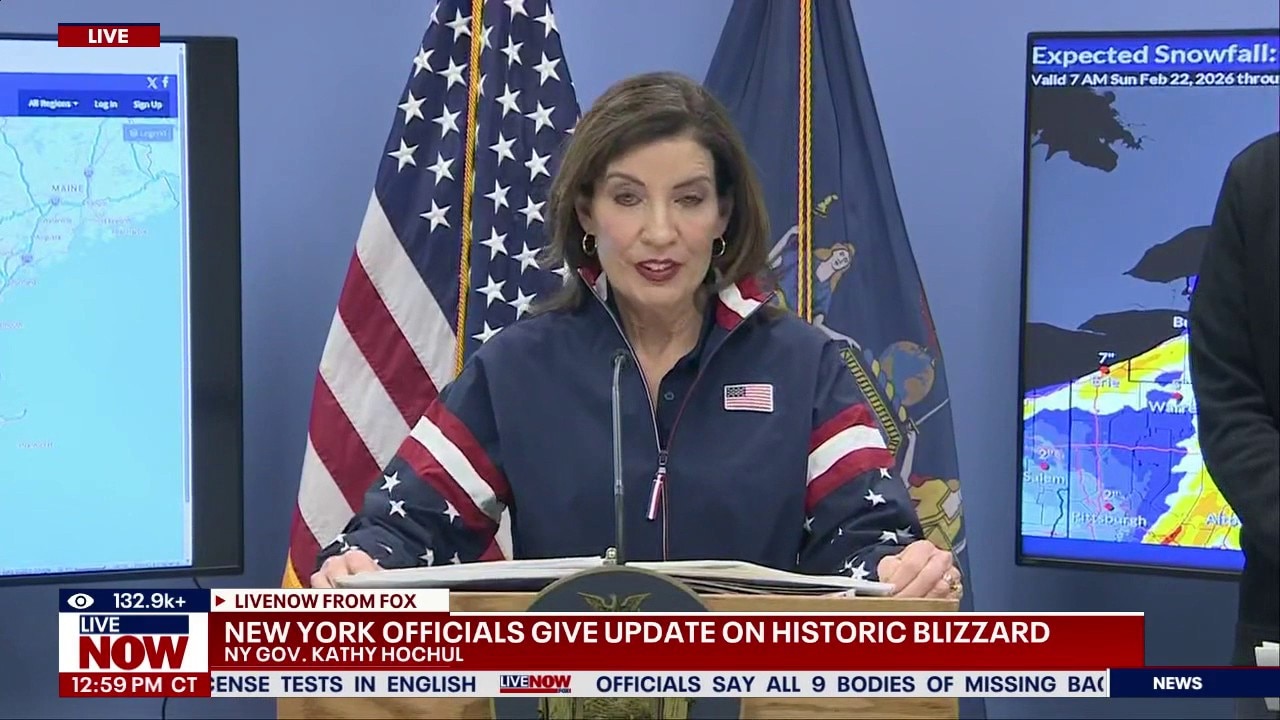
Hochul gives update on winter storm in New York

Historic blizzard forecasted to slam Northeast
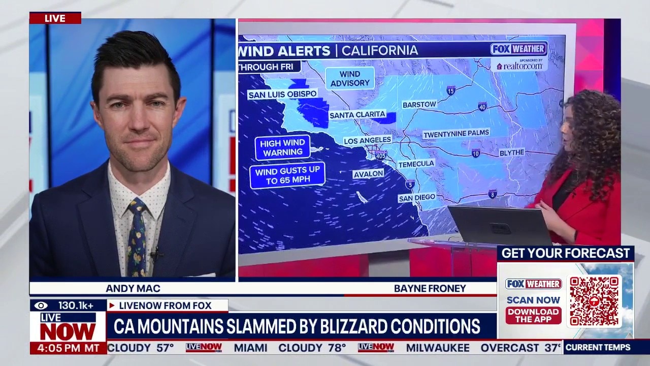
Blizzard conditions expected for California mountains
Powerful coastal storm developing this weekend

Winter storm: Power outages persist, flights grounded

Beet juice used as eco-friendly option to avoid icy roadways

Millions brace for major winter storm in the US

Possible historic winter storm to impact millions

Winter weather impacts millions amid holiday travel

Powerful snow storm nears Northeast

Snow storm forecast to dump up to 6-9 inches on NYC

WA floods: Highway 2 to partially reopen
